
Maps tell stories, and the Great Smoky Mountains has a rich one to share…
Great Smokey Mountains National Park Interactive Web Map URL:
https://gisucla.maps.arcgis.com/apps/mapviewer/index.html?webmap=64841331903848749e5b8fd7188f4a01
Established June 15th, 1934 and spanning over 800 square miles, Great Smokey Mountains National Park encompasses parts of both North Carolina and Tennessee. Below the text is a map I’ve constructed based off of the National Parks Website’s version of the Park. In addition to this, to the left is an interactive web map version of the map below.
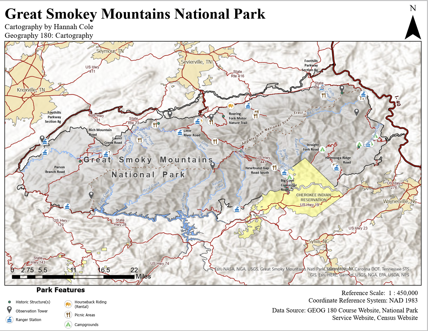
This map of Great Smoky Mountains National Park attentively integrates many practices in order to convey information to a wide audience. I’ve carefully selected color schemes which enhance terrain visibility while maintaining clarity— shaded relief emphasizes elevation, while contrasting colors highlight park boundaries, roads, and key features. The symbology is designed for easy interpretation, with icons distinguishing various important features. Thoughtful labeling ensures that critical locations remain legible without overwhelming the visual hierarchy. This map showcases my proficiency in balancing aesthetic appeal with functional design, making complex geographic information accessible and engaging for a broad audience.