Koreatown, Los Angeles: Urban Density, Inequality, and Placemaking
This project explores Koreatown, Los Angeles through GIS, focusing on urban density, land use, and access to green space. By analyzing spatial patterns, it highlights how the built environment reflects broader processes of inequality, development, and community formation.
Using geospatial tools, this project connects technical analysis with concepts such as racial capitalism and placemaking to better understand how space shapes everyday experiences in the city. Overall, this project shows how patterns of density, development, and access to resources in Koreatown are not evenly distributed, reflecting broader processes of urban inequality.
Methods
This project was created using ArcGIS Pro and ArcGIS Online to analyze spatial patterns of land use, density, and access to green space within Koreatown. Vector data was used to map neighborhood boundaries and identify key sites of importance, including residential development, community resources, and underutilized land.
Spatial analysis and cartographic design were used to visualize how these features are distributed across the neighborhood. The final results were presented through an ArcGIS StoryMap to combine geospatial analysis with narrative context.
View Full Storymap:
https://storymaps.arcgis.com/stories/176bc718d9374b0e91230c5390825084
The full interactive StoryMap provides a more detailed analysis of spatial patterns, data, and findings from this project.
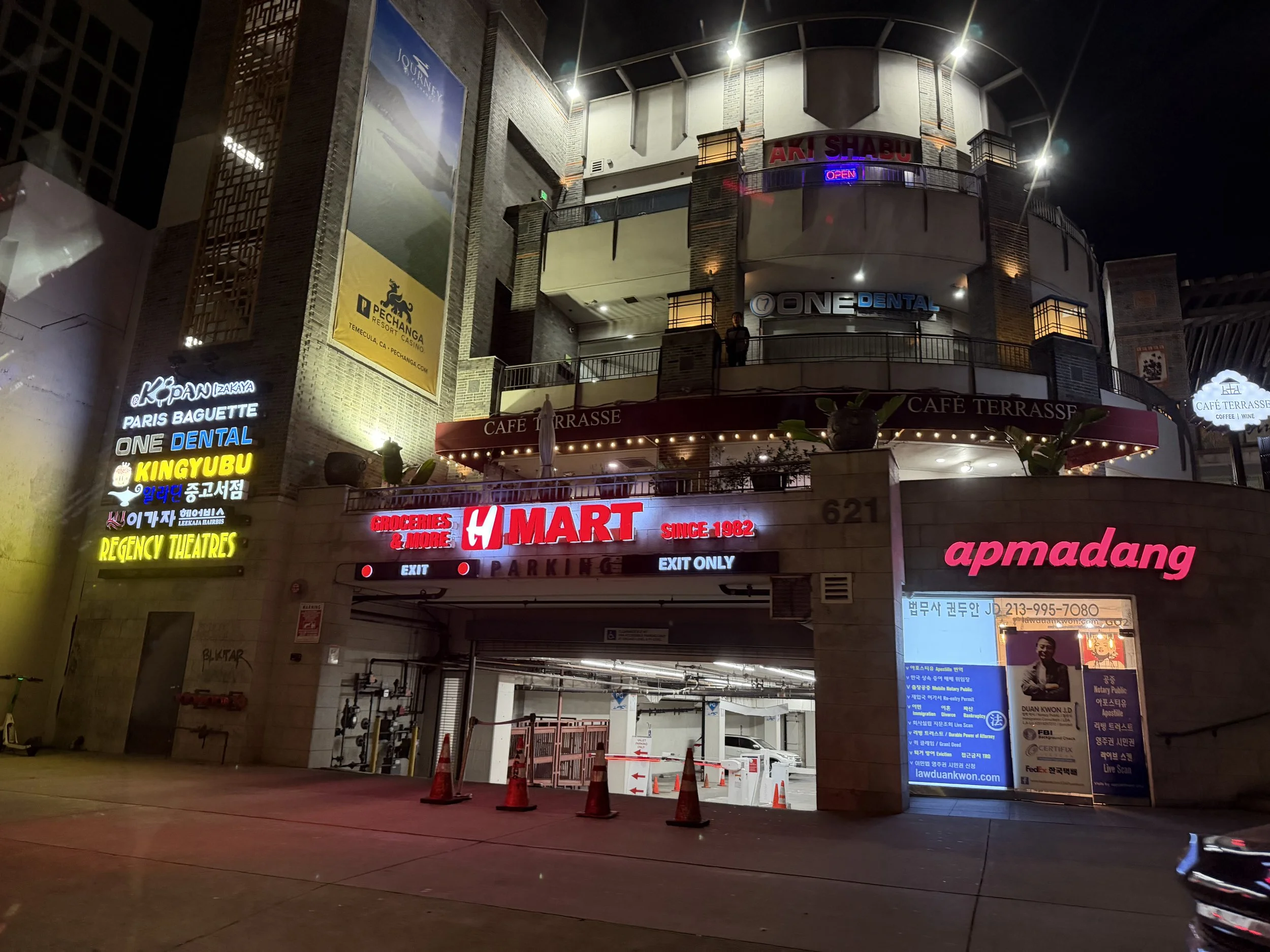
Koreatown is one of the most densely populated neighborhoods in Los Angeles, known for its mix of residential, commercial, and cultural spaces. The area is shaped by a history of immigration, urban development, and economic change, which is reflected in both its built environment and community identity. While Koreatown is vibrant and highly active, it also faces challenges such as limited green space, housing density, and uneven access to resources.
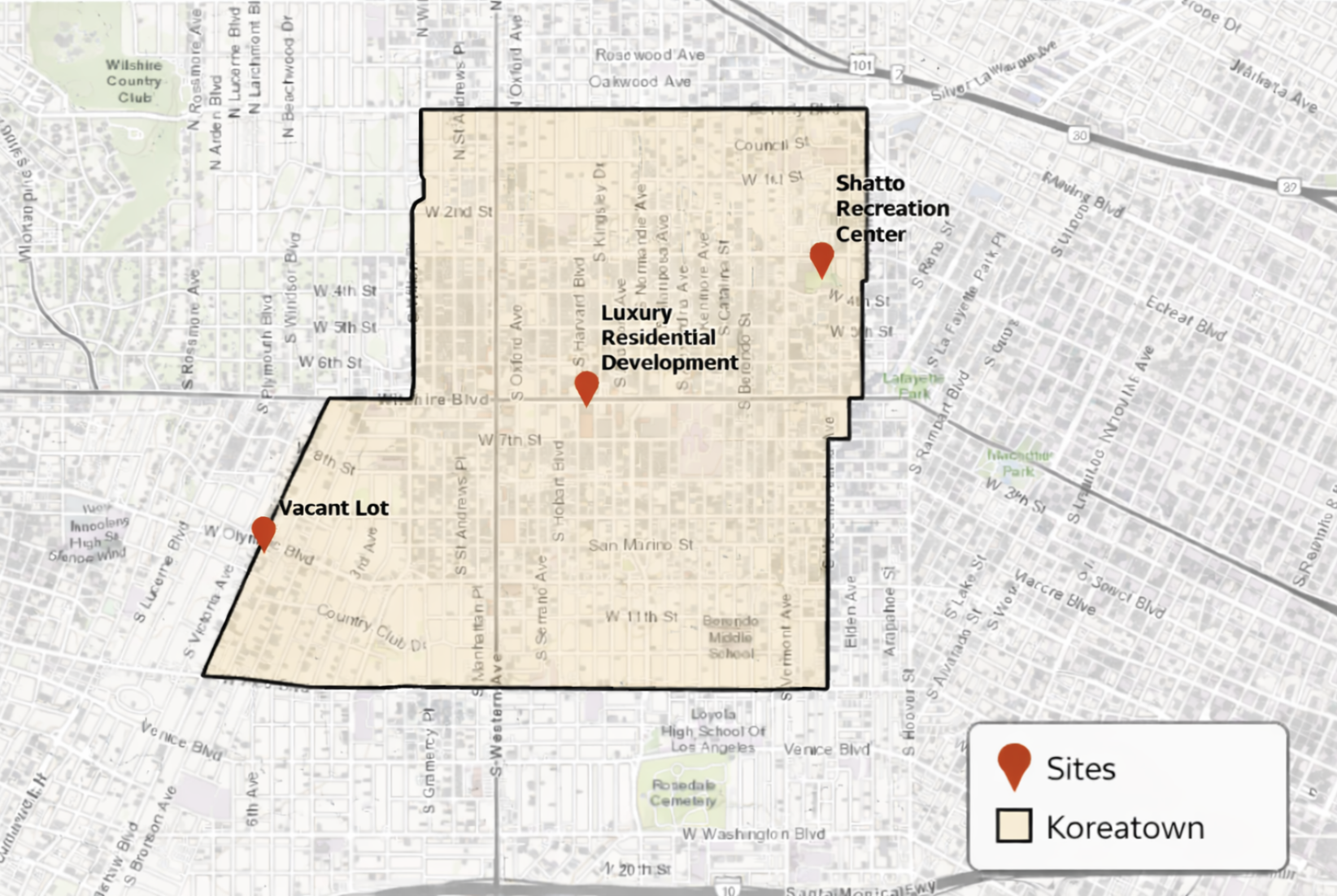
Spatial distribution of key sites highlighting patterns of investment and land use.
Sites of Importance
These selected sites highlight key aspects of development and land use within Koreatown. They represent different types of spaces, including new residential development, community resources, and underutilized land. By examining these locations, this section illustrates how investment, access to amenities, and land use are distributed across the neighborhood. Together, these sites provide insight into broader patterns of urban change, density, and inequality within Koreatown.